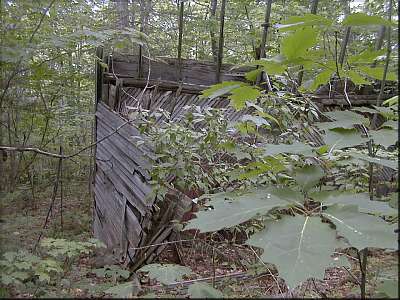
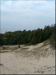
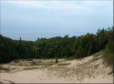
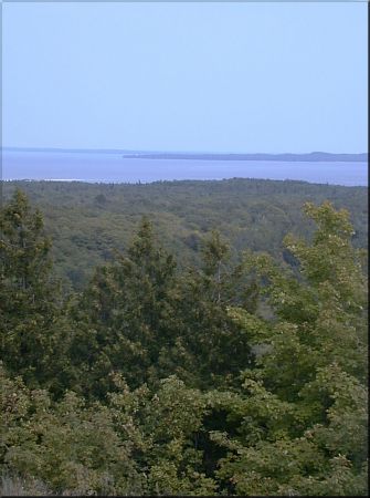
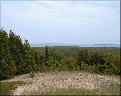
| |  | | | [ Continued ] The third, and largest, field was a breezy orchard. Despite the dryness of the summer, the apples seemed to be doing well, and were already starting to ripen. Beyond its west edge we came to the base of Lookout Mountain, at 240' above Lake Michigan, the highest point in the Beaver Archipelago. The path, with its cascades and landslides, seemed to go straight up, and we had to stop our climb to catch our breath more than once. But the stunning panorama that awaited us more than made up for the effort: Beaver and much of High was visible to the east, and Gull Island and the open sea to the west. Plus, the breeze cooled us down. |
|
| | |  |
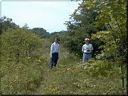
| | | | On our way back, we took a path to Lake Maria, surprising an eagle and a heron. I was disappointed to find only a few small frogs on the banks; Dennis Wagner had told me about bullfrog hunts here over twenty years ago, and I had carried his story with me all that time. We saw what might have been hoof marks in the shallows, but nothing on the shore, so perhaps the notion that there are no deer here is true. Isabel Ken, who was born here, remembered seeing only one.
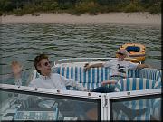
Back at our boat, we saw that three other boats had arrived, and a picnic was going on to our north. We ate our lunch, for which we were very grateful after our 4-5-mile hike, and then headed back to Beaver. We arrived at 5:30, just ahead of the Coast Guard's Buckthorn (normally stationed at Bay City) which may have come to check the buoys in Paradise Bay.
[ Map of High Island ] |
|
|